
Obkolpski brevet
205 kilometres along the Kolpa River, through the Bela Krajina and Kočevsko regions.
The Obkolpski Brevet is a 205-kilometre-long cycle route linking Bela Krajina, Kočevsko and the Kolpa Valley. Along the way, you’ll encounter long flat sections, challenging climbs, the 19 hairpin bends of Strma Reber, crossings of the Slovenian-Croatian border and a finish amongst the vineyards of Bela Krajina.
You can cycle the route as part of an organised Obkolpski Brevet or independently.
Distance: 205 km
Total ascent: 3,804 m
Estimated time: 13.5 hours
Difficulty: very difficult
Start and finish: Semič
What can you expect along the way?
- Jelševnik – The route takes you through the Jelševnik area near Črnomelj, known for the black olm.
- Strma Reber – One of the most iconic cycling climbs on the route. Nineteen numbered hairpin bends take you to a viewpoint overlooking the Kolpa Valley, followed by a long descent towards Osilnica.
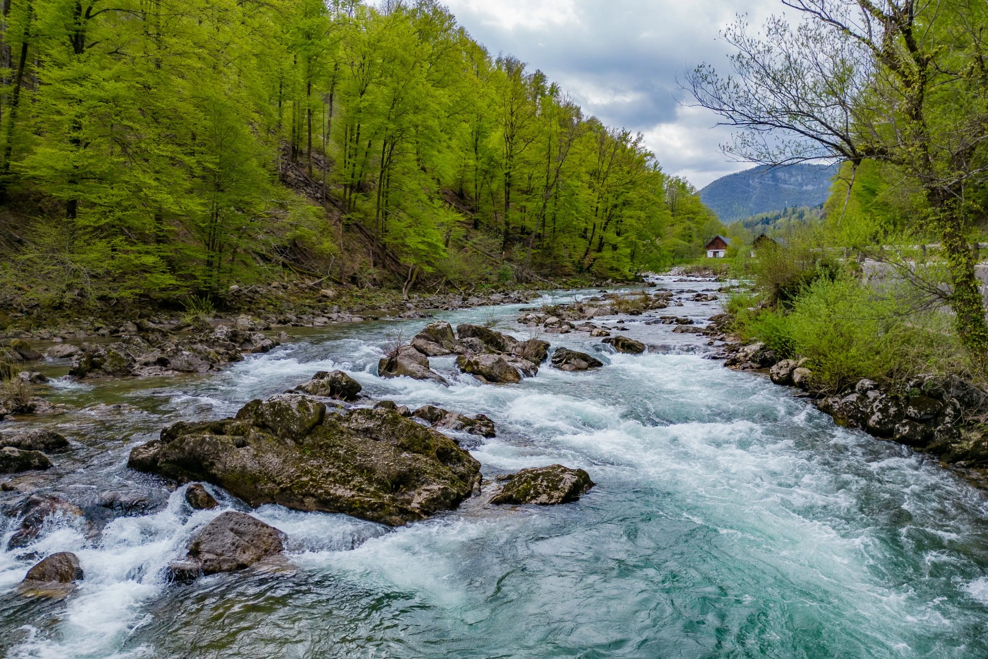
- Kolpa and Kočevsko – A large part of the route runs through the Kolpa Valley and the wooded Kočevsko region. At Osilnica, you cross the border into Croatia and continue part of the route on the Croatian side of the Kolpa.
- Bela Krajina - You return to Bela Krajina at Vinica. The route continues through the villages of Bela Krajina towards Metlika, and from there through Rosalnice, Božakovo and the wine-growing village of Drašiči back towards Semič.
Route
1. Semič–Črnomelj–Stari trg ob Kolpi–Kočevska Reka
From Semič, you descend via Ručetna Vas towards Črnomelj. Before reaching the town, turn off towards Otovec and continue past Jelševnik and through Stari trg ob Kolpi towards Kočevska Reka.
2. Kočevska Reka–Strma Reber–Osilnica
Next comes one of the more challenging and most iconic sections of the route, the climb up Strma Reber. After 19 hairpin bends, the route descends towards Osilnica.
3. Osilnica–Vinica–Metlika
In Osilnica, you cross the Slovenian–Croatian border and continue part of the route on the Croatian side of the Kolpa River. You return to Bela Krajina at Vinica and continue towards Metlika.
4. Metlika–Drašiči–Semič
The final section leads from Metlika through Rosalnice, Božakovo and Drašiči. From there, the route concludes through wine-growing countryside to the finish in Semič.
Tips for cyclists
-
Personal documents: As the route crosses the national border with the Republic of Croatia several times, always carry a valid personal document (identity card or passport) with you.
-
Equipment: We recommend using a properly serviced bike, a helmet, and front and rear lights due to the darker forest sections in the Kočevje area.
-
Hydration and nutrition: Although you will come across places to eat and drink along the route, always carry at least two water bottles and some energy snacks for longer climbs.


Technical description
Waypoints: Semič - Otovec - Jelševnik - Dobliče - Stari trg ob Kolpi - Predgrad - Livold - Kočevska Reka - Strma Reber - Hrvatsko - Brod na Kupi - Petrina - Fara - Sodevci - Blaževci - Severin na Kupi - Vinica - Žuniči - Krasinec - Pravutina - Jurovski Brod - Metlika - Drašiči - Krvavčji Vrh - Semič
Start: Semič
Length: 205 km
Time: 13.5 h
Highest point: 977 m
Difficulty: Very difficult


